I am working with two rasters. I am trying to reproject r1 the same way as the raster r2. Rasters are available here
r1
class : RasterLayer dimensions : 30286, 58025, 1757345150 (nrow, ncol, ncell) resolution : 99.99876, 99.99876 (x, y) extent : -2893269, 2909160, 224962.6, 3253525 (xmin, xmax, ymin, ymax) coord. ref. : +proj=aea +lat_1=29.5 +lat_2=45.5 +lat_0=23 +lon_0=-96 +x_0=0 +y_0=0 +datum=NAD83 +units=m +no_defs +ellps=GRS80 +towgs84=0,0,0 values : 0, 7 (min, max) r2
class : RasterLayer dimensions : 585, 1386, 810810 (nrow, ncol, ncell) resolution : 0.04166599, 0.041666 (x, y) extent : 235.207, 292.9561, 25.04224, 49.41686 (xmin, xmax, ymin, ymax) coord. ref. : +proj=longlat +ellps=WGS84 +no_defs values : -7.904284, 12.21496 (min, max) I precise that the resolution of r1 is 100 m and the resolution of r2 is supposed to be 4km. Moreover, the system of coordinates is different as one is in degree and another one in meter. I would like to reproject the rasters in order they keep their own resolution and share the same extent.
I did not find a way to do it. When I upload my data in Arcgis, the rasters are aligned as I would like which is not the case with Qgis and R. The final goal would be to allow raster calculations by stacking the raster for example.
I do not want to reproject the raster from r2 to r1 as I am working with thousands of raster that have the same coordinates than r2.
I can work with Arcgis, Qgis, and R. However, I do not know how to code in Python.
Currently, by applying the method by Spacedman (answers below), I obtained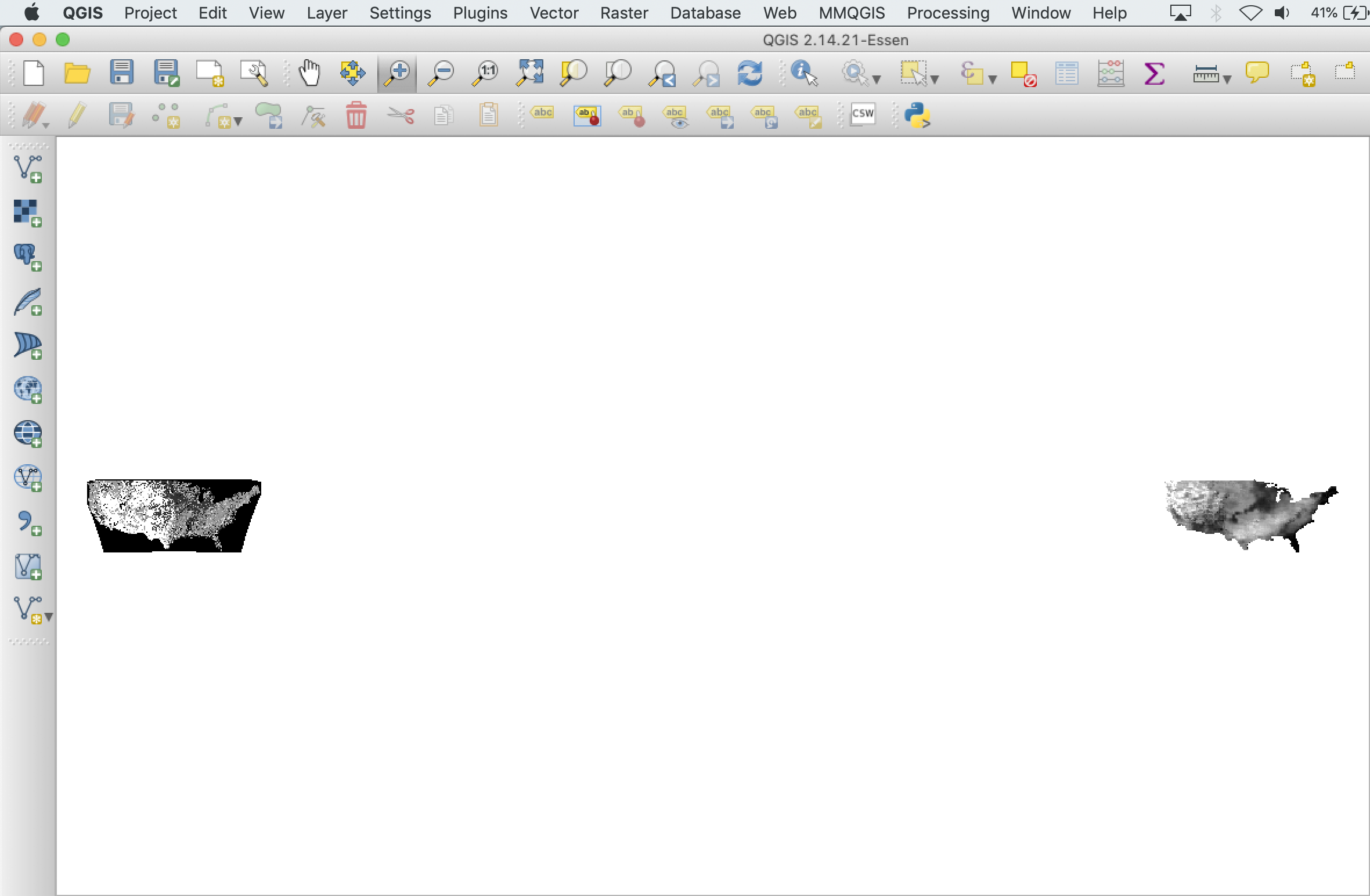 . This is much better as my rasters are closers but there are still not at the same position when I plot them. Moreover, the resolution of r1 has changed. I am confused to what is the problem.